Argentina, IICA, and Trinidad and Tobago cooperate on satellite technologies
The use of space technology and remote sensing contributes to agricultural development and risk management.
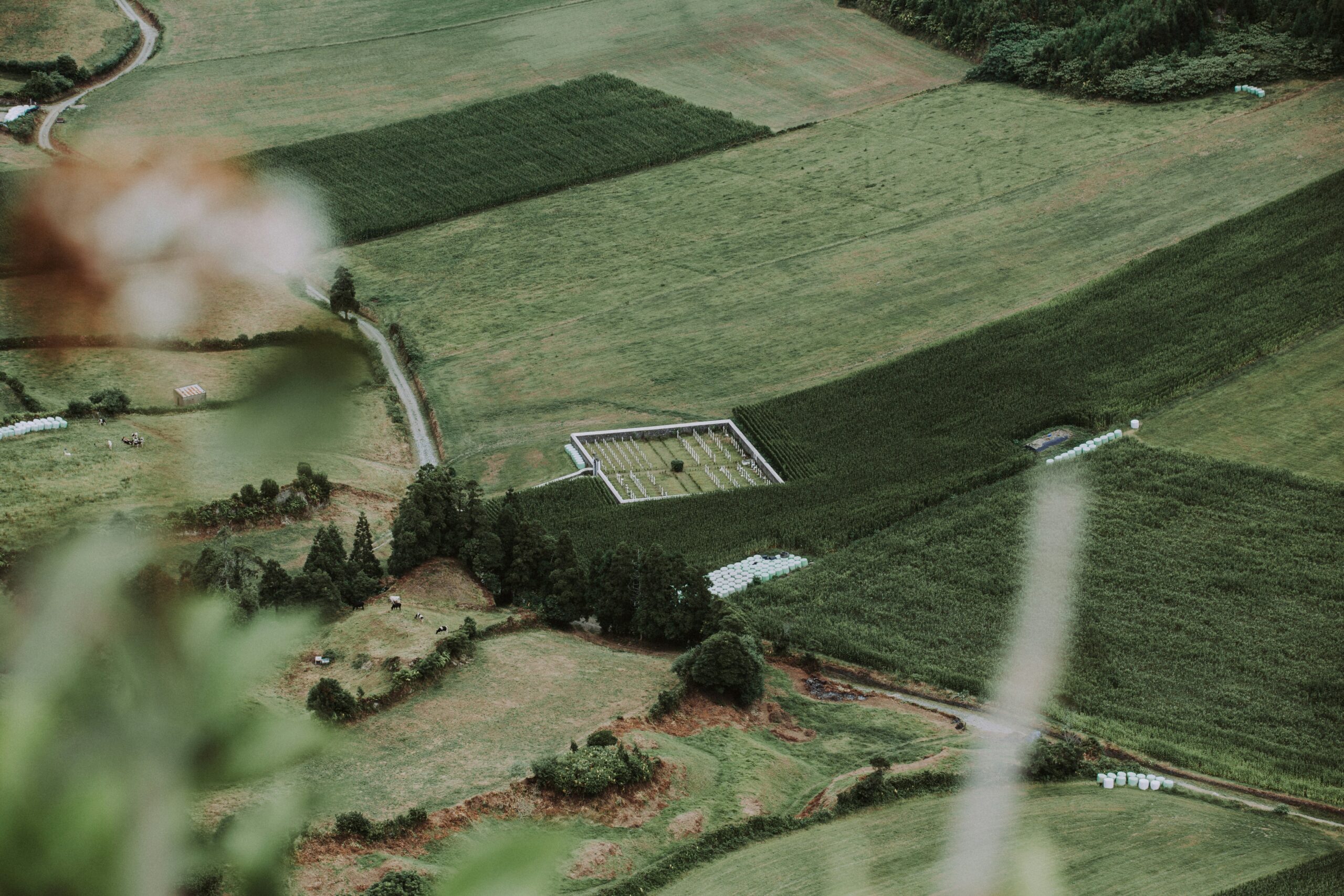
Remote sensing is one of the tools used to predict the consequences of certain meteorological disasters, generate earlier warnings, and manage the impact of and response to these phenomena with better accuracy (Eos Data Analytics, 2025).
In this sense, through Triangular Cooperation (TC), Argentina, the Inter-American Institute for Cooperation on Agriculture (IICA) and Trinidad and Tobago are implementing the project Satellite technologies to map and manage meteorological phenomena. Several institutions are participating in this initiative, including the National University of Córdoba, the Mario Gulich Institute for Advanced Space Studies, the National Commission for Space Activities of Argentina (first providers), IICA itself (second provider), the Ministries of Agriculture and of Works and Transport of Trinidad and Tobago (recipients), and the University of the West Indies (UWI).
According to the Ministry of Foreign Affairs, International Trade, and Worship of Argentina, “this initiative reaffirms the commitment to promote sovereign technological capacities in Latin-America and the Caribbean, supporting digital transformation in strategic sectors such as agriculture and environment management” (Ministry of Foreign Affairs, International Trade, and Worship of Argentina, 2025, internal document).
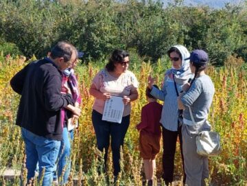
In this regard, the training course Applications of remote sensing in flood management was held at the St. Augustine campus of the UWI between the 2nd and the 13th of December, 2024. The Gulich Institute led the activity, which focused on theoretical and practical aspects of the use of satellite images for Earth observation, with an emphasis on flood monitoring and hydrometeorological risk analysis, especially in rural areas (Ministry of Foreign Affairs, International Trade, and Worship of Argentina, 2025, internal document).
The potential of Argentine satellites in orbit —particularly of the SAOCOM mission (Argentine Microwave Observation Satellites)— was highlighted during this event, and mentioned as an example to generate strategic data that enables more efficient territorial planning, improves early warning systems, and supports climate resilience policies. The satellites launched in the framework of SAOCOM are equipped with an L-band Synthetic Aperture Radar (SAR), which allows them to obtain information on soil moisture, even across clouds and in darkness, which is useful for agriculture and natural disaster prevention (Argentina.gob.ar, 2025) (SAOCOM, 2025).
During the training course, meetings were held with several stakeholders to identify future lines of work and consolidate a technical cooperation agenda between the two countries. This way, through TC and by associating with other partners in the Global South, and with key institutions in the agricultural sector, Argentina contributes to capacity strengthening in agriculture, through science and technology.
August 2025
***
Source: SEGIB based on Agencies and Directorates-General for Cooperation and Argentina.gob.ar (2025), Eos Data Analytics (2025), Ministry of Foreign Affairs, International Trade, and Worship of Argentina (internal document, 2025) and SAOCOM (2025).
Photos: ratan and Sandro Kradolfer in Unsplash.