Colombia and the Dominican Republic cooperate on energy
The project focused on development in the fields of geodesy, geodynamics, metal mining, hydrocarbons, and natural disaster prevention.

In the global context, the availability of reliable and up-to-date gravimetric networks has become essential for understanding the dynamics of the planet and ensuring the accuracy of critical geodesy-based services.
Institutional strengthening in this area is key to ensuring that countries have accurate and up-to-date geospatial data, which is essential for land-use planning, infrastructure management and risk reduction. Strengthening the institutions responsible for these issues helps maintain and modernise geodetic reference frameworks, ensure interoperability with global standards and guarantee that the information used by different sectors is reliable. This translates into better public decisions, greater technical efficiency and a direct impact on the country’s economic development and resilience.
Through the Bilateral SSC project: ‘Capacity building for the development of the gravimetric network in the Dominican Republic’, Colombia is supporting its Ibero-American partner in expanding geophysical knowledge of terrestrial basins with potential for hydrocarbon exploration (Ministry of Energy and Mines of the Dominican Republic, 2024). This initiative was approved within the framework of the 7th meeting of the Joint Commission for Technical, Scientific, Educational and Cultural Cooperation between Colombia and the Dominican Republic (2023-2025).
Furthermore, having a National Gravimetric Network will provide the country with accurate and reliable data for engineering development, safety, and scientific research. Specifically, this network allows for physical prospecting for the exploration of natural resources, monitoring of natural phenomena, and in-depth knowledge of cartography and typography.
This request for cooperation aims to support the Caribbean country’s current need for geophysicists with advanced knowledge of gravimetry, magnetometry and seismology. This would strengthen the country in terms of attracting greater foreign investment, improving knowledge and use of its resources (oil, natural gas and other alternative fuels).
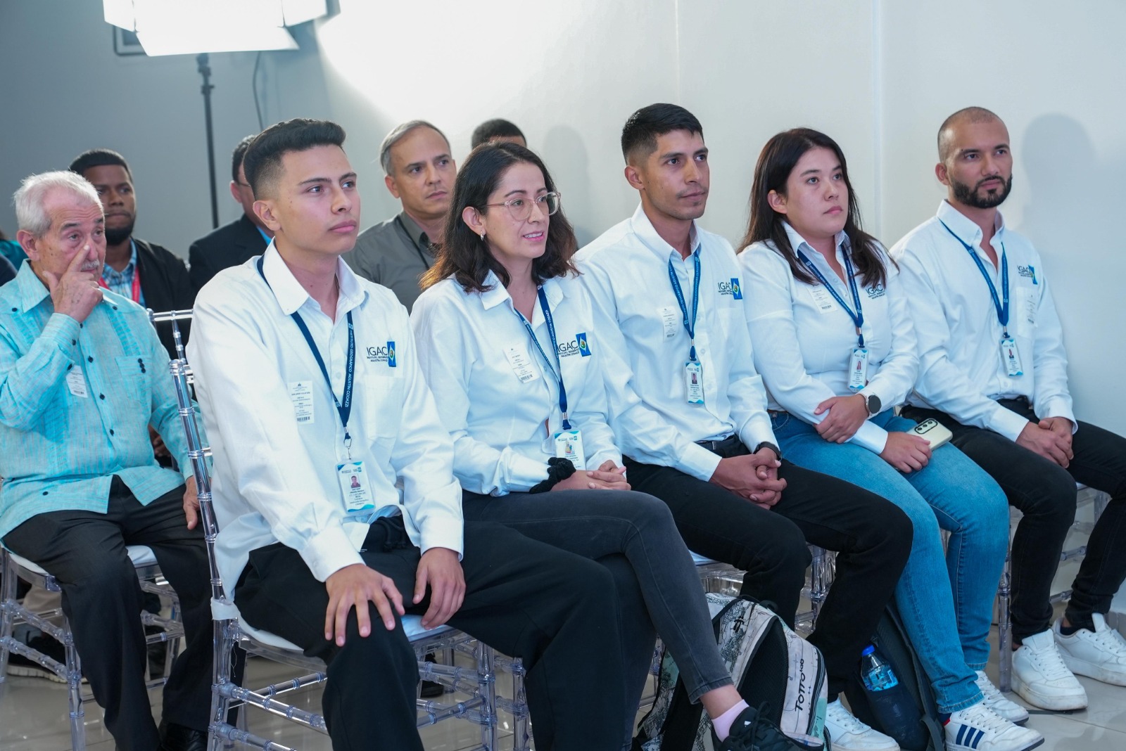
On the Colombian side, the Agustín Codazzi Geographical Institute (IGAC, by its acronym in Spanish) –recognized worldwide for its expertise in cartography, cadastre, geodesy and agrology– provided technical support for this initiative. In 2024, an IGAC delegation travelled to the Dominican Republic to carry out fieldwork with officials from the Dominican Republic’s National Geological Service on the densification of that country’s gravimetric network. In addition to this visit, virtual workshops were held to exchange knowledge and experiences in gravimetry, geodesy and cartography for officials, students and members of civil society.
In addition, in order to establish the Network, ‘50 gravimetric stations have been built and installed throughout the national territory, with locations focused on areas within the country’s different sedimentary basins that have potential for hydrocarbon exploration and exploitation.’
During the project’s closing event, Dominican authorities publicly highlighted the progress made, presenting the results of the gravimetric station installation process and highlighting the contribution that these actions represent for the country’s technical strengthening in geoscience. In addition to strengthening bilateral cooperation between the two countries, this initiative enabled the Dominican Republic and Colombia to advance in the establishment of strategic alliances that strengthen knowledge and contribute to sustainable development.
February 2026
***
Source: SEGIB based on Agencies and Directorates-General for Cooperation and Ministry of Energy and Mines of the Dominican Republic (2024).
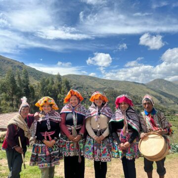
Photos: Ministry of Energy and Mines of the Dominican Republic, El Nuevo Diario and Nazmul ahsan Meraz in Unsplash